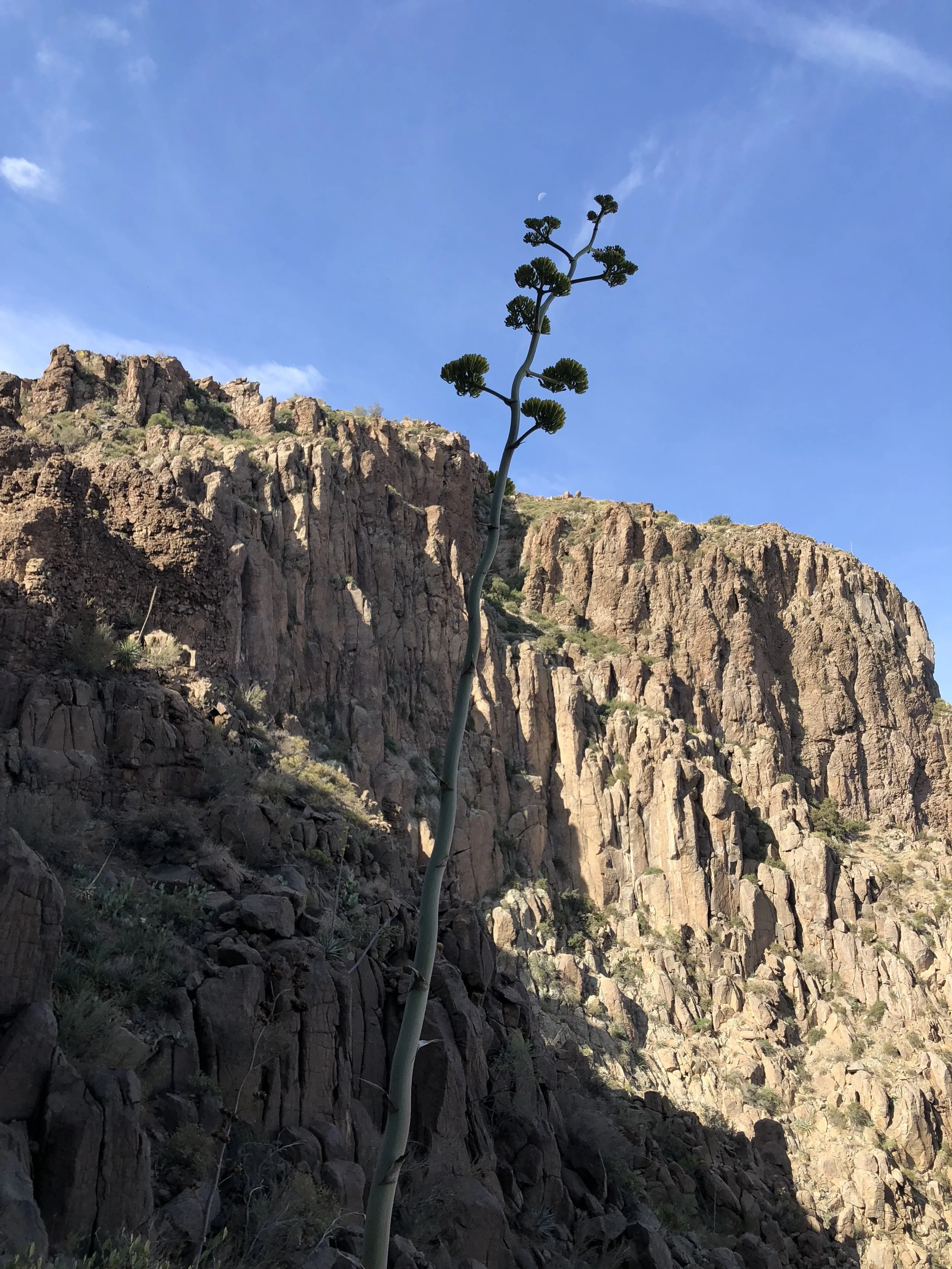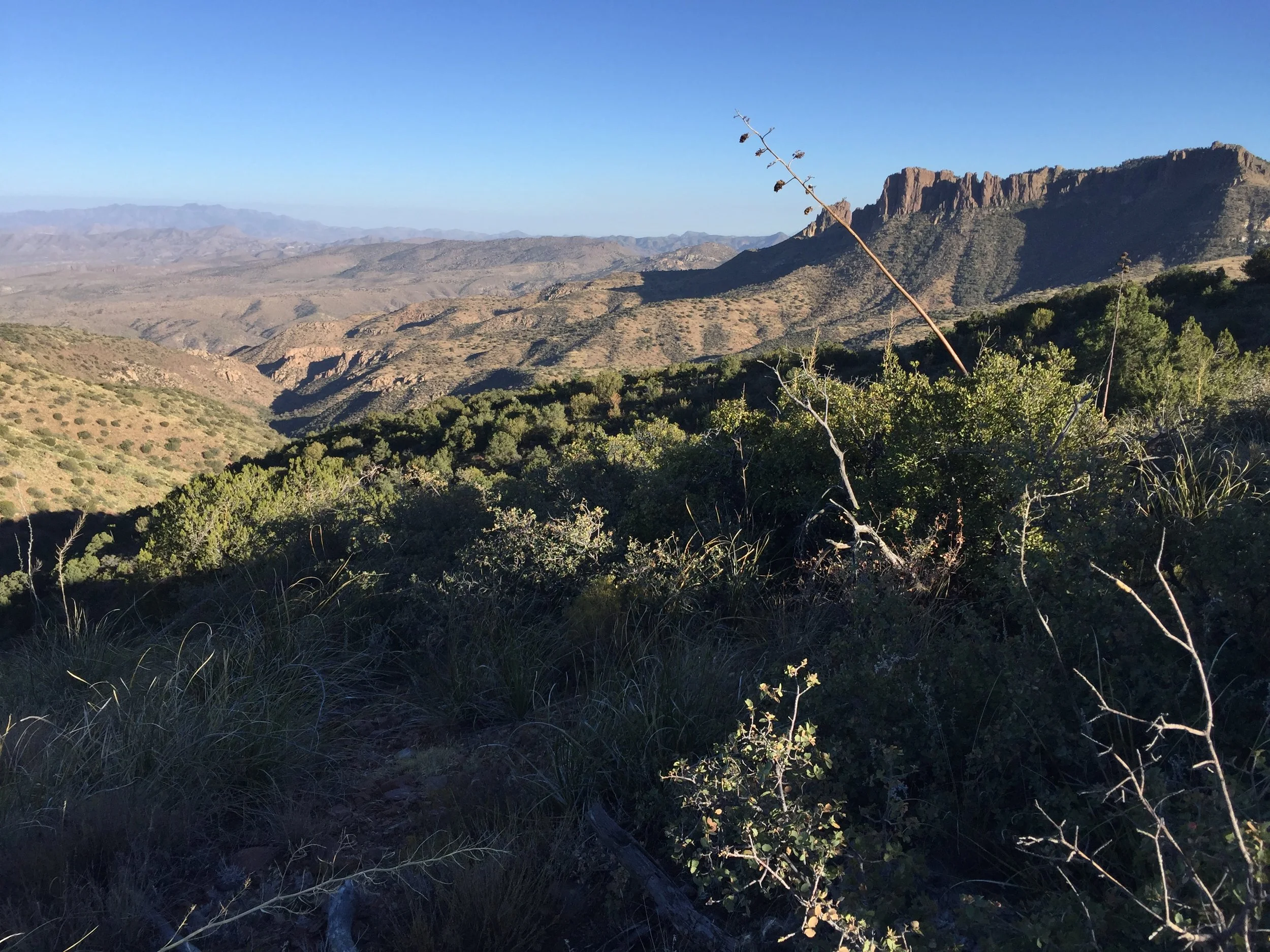
The Lost Dutchman Mine: Other Evidence of Mineralization in the Superstitions
So, short of walking the entire rugged Superstition range hoping to stumble on Waltz's long abandoned diggings (a pretty low probability shot, given that people have been wandering out there for 120 years since his death with no demonstrable results), what are our options for evaluating the area's mineral potential and using this to put priorities on where we're going to take the trouble to walk?
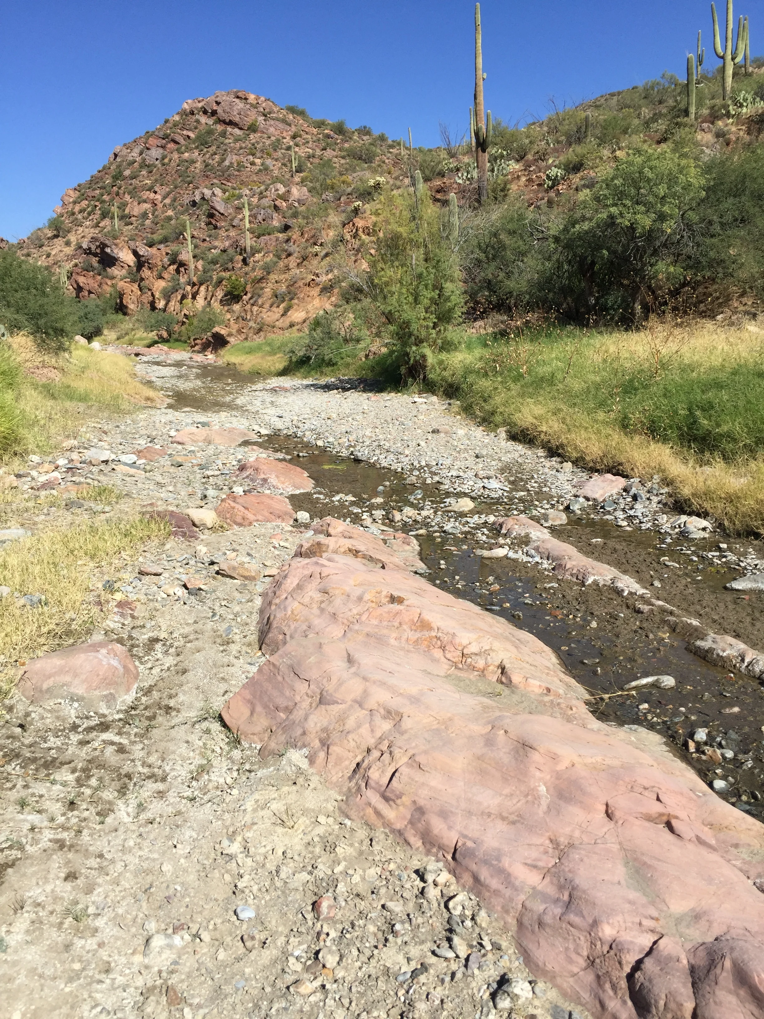
Stream Sediment Geochemistry: This is a potent tool for the detection of outcropping or sub-cropping mineralization, which Waltz's mine had to be, in order for him to find it. Stream sediment geochemistry consists of the detection of trace amounts of metals adsorbed onto clay in drainages. The theory is a follows: surface water dissolves minute amounts of metals from whatever bedrock it the flows over. When this water flows over clay-rich sediments, cations (including positively charged metal ions) in it are caught and loosely held on the negatively charged OH radicals that clays are full of. The practical application of this fact consists of the following: we collect a bag of 100-500 grams of clay-rich silt-sized material around a given sample point in the stream bed. We do this every 1/4 to 1/2 mile along the course of the drainage, and above every stream junction, just like the old timers would do when panning for gold and trying to locate its source. We then send the samples to a qualified laboratory, where they screen the silt to -80 mesh to increase the clay content of the undersize material, discarding the oversize. Then a few grams of the -80 mesh fraction are subjected to a relatively weak acid leach to get the metal ions back into solution. The solution is analyzed spectroscopically and the metal content of the original silt sample calculated and reported in parts per million (ppm). We plot up the results on a map, and mark drainages where silt samples returned unusual ("anomalous") concentrations of the metals of interest to us, for follow-up by careful prospecting.
You might ask whether this technique will work in an arid environment like the Superstitions, where the vast majority of the drainages are dry washes. That's a good question, but remember that the clays in the stream bed contain the time-integrated signal of the metal content of water that flowed over them over the course of many, many years. And over those years that wash, which may be dry as a bone the year you hiked it, has actually seen a lot of flowing water, due to seasonal rains, snowmelt, etc. So, yes, it does work in the desert environment.
This single technique was probably responsible for the discovery of more ore deposits worldwide in the 20th C than any other. Now, as it turns out, the USGS did a stream sediment survey of the Superstition Mountains in the mid-70s, as part of studies relating to its Wilderness Area status. They collected and analyzed 1,038 stream sediment samples. While the original analytical method (e-spec) was primitive by today's standards, with relatively high detection limits for some of the elements (Au, Zn) we are interested in, for others (Cu, Pb, Ag, Mo) the detection limits are quite acceptable. In addition, there were a fair number of stream sediment samples taken in and around the Superstitions during the National Uranium Resource Evaluation Program of the 1970s, so the total number of such samples is probably upwards of 1,500. It gets even better: the USGS has been re-analyzing many of its historical samples using more modern techniques, so over the next few years, the quality of the database will improve significantly.

Figure 1.

Figure 2.

Figure 3.

Figure 4.
A review of these stream sediment data shows that there are indeed drainages in the Superstitions with anomalous concentrations of metals, especially on the southern flank of the range. Rock chip samples (see below) from many of these drainages also returned anomalous values.
Hydrogeochemistry: Here the technique consists of the direct measurement of various chemical and physical parameters of water from streams, springs, wells, etc. For metals, this requires much more sophisticated analytical methods with very low detection limits. During the National Uranium Resource Evaluation (NURE) program of the 1970s, samples were taken and analyzed from many of the water sources around the Superstitions and we have those data to complement the stream sediment data. Anomalous chemistry was present in samples down-gradient (to the SW) from the Bulldog mine area of the Goldfields-Youngberg District and down-gradient (to the S and SW) from the JF Ranch area. Other anomalous samples were at the ranch on the Apache Trail between Fish Creek Canyon and the take-off for the Reavis Falls trailhead and near Apache Lake on FR 250. The former two correspond very well with stream sediment geochemical results, the latter two are from drainages with weakly anomalous responses in stream sediments up-gradient from them.
Rock Geochemistry: The USGS and US Bureau of Mines also took 1,231 rock samples as part of their wilderness evaluation program. The analysis of these samples served to confirm mineralization in many of the drainages identified as anomalous by the stream sediment survey, and to characterize it geochemically. They show, for example, that mineralization in the JF ranch area is generally gold poor, while that in the Dacite Cliffs and Palmer mine contain significant amounts of the yellow metal.
Mine and Prospect Locations: There are two other important data sources available from the USGS, to wit: they have compiled all mine and prospect symbols from historical topographic maps and they maintain a database of mines and prospects with limited but useful information on commodities produced and geology, known as the MRDS (Mineral Resource Data System). The former gives a rough-and-ready index of the intensity of mineralization in any given area, while the commodity information is of obvious use for classifying a given zone as favorable or not for what we're looking for.,