Planning for the next hike
Its hard to believe, but a month and a half after completing the Arizona Trail, I'm spending my mornings planning another long distance solo hike. I've focussed on the Grand Enchantment Trail (GET), which I mentioned in my blog installment on the Picketpost Mountain to Kearny segment of the AZT. On my way down to the Gila River I met a couple of hikers on that stretch who were westbound on the GET. They commented to me that it was more challenging than the AZT from a route finding perspective, resulting in lower average daily mileage, but that water was less scarce.
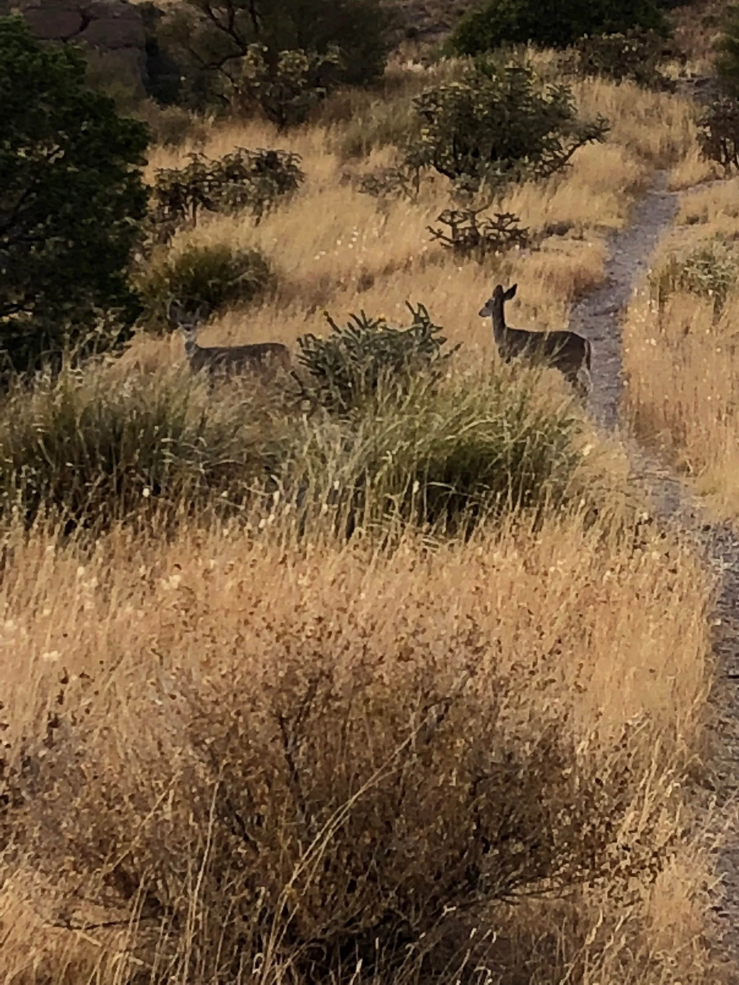
The GET appeals to me for many reasons. It stitches together patches of country that I've spent lots of time in over the course of my life. From Phoenix to Safford to the Gila Wilderness, the Black Range, on up through the San Mateos and Magdalenas, across the Rio Grande into the Manzanos and Sandias and finally Albuquerque. This encompasses the heart of Bedonkohe (Geronimo) and Chihenne (Victorio) Apache country as well, peoples with whom I'm fascinated, as you can probably tell if you've read my book reviews. And it is of great interest geologically, given that it zig zags back and forth across the Laramide porphyry copper belt and the Oligocene-Miocene Sierra Madre volcanic province with its classical epithermal precious metals deposits.
As a young guy working at the Tyrone mine near Silver City, New Mexico, I backpacked hundreds of miles in the Gila and Aldo Leopold Wilderness areas. I've canoed the Gila River from the Cliff Dwellings down to Gila, NM and from Clifton to Safford, AZ, and the San Francisco River from near Glenwood, NM to Clifton, AZ. And I've prospected extensively from the Rio Grande to Phoenix over the course of my career. The GET traverses the southern sector of the territory of the Ancestral Puebloan people and their contemporaries, (e.g. the Mimbres), cultures that I've also had a lifelong interest in. So the GET would tie all of these together like beads on a string.
I've downloaded the map set available from the GET website and, though they're set up a bit differently than the AZT maps, I've begun a detailed look at water sources, campsites and re-supply options. A couple of things strike me right out of the box:
1) reliable water sources do appear to be much more abundant for most of the GET....it actually follows many of the permanent streams in the region, which tend to flow EW, not NS (the predominant direction of the AZT).
2) Resupply options for some long stretches of the GET are difficult and I may have to carry more food than I like to more often. I also may have to consider putting in some food caches to avoid long detours into towns distant from the trail. The latter looks like the most viable option and I've bought some bear-proof cache bags which I can either hang or bury to use for this purpose.
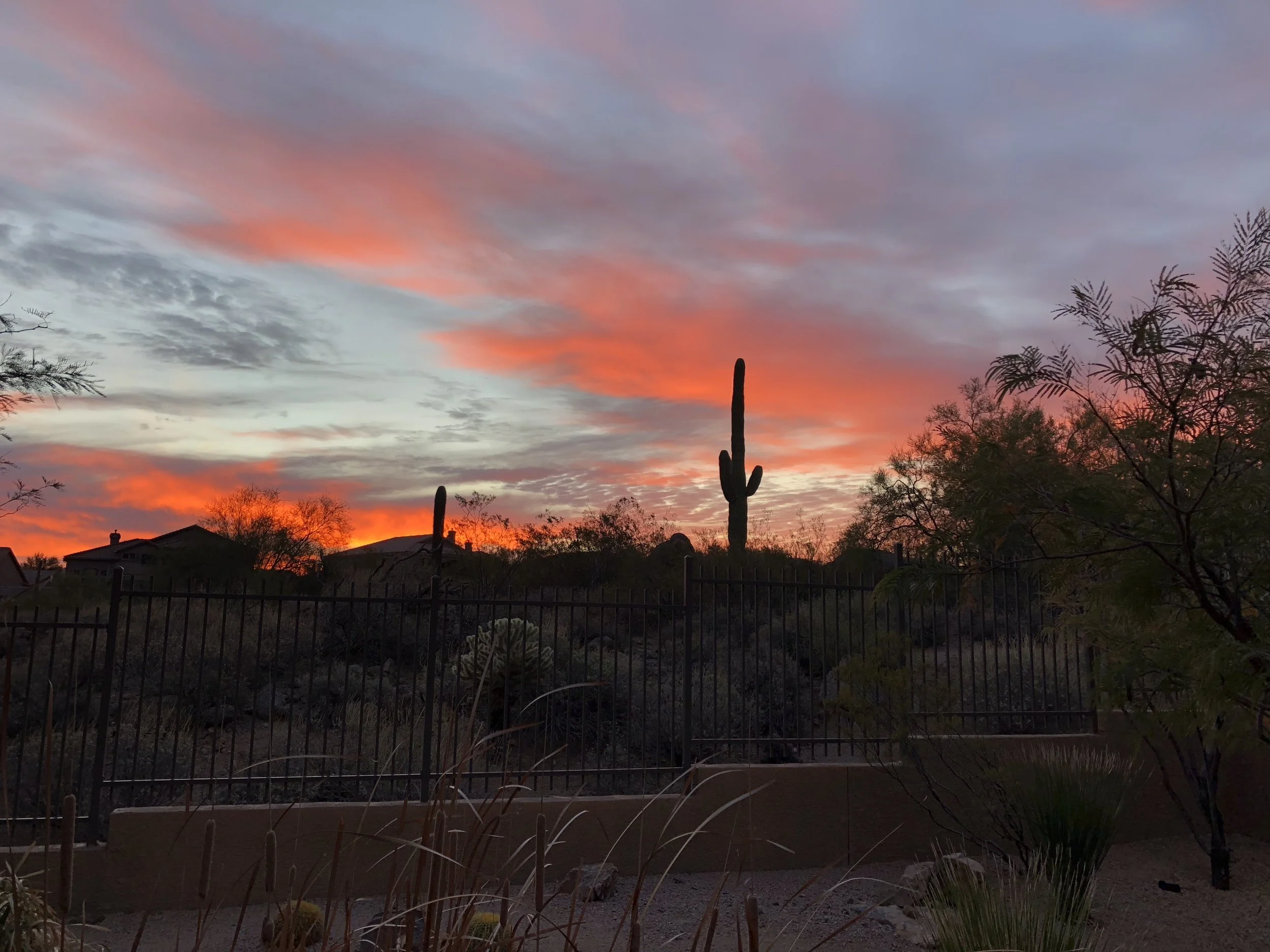
3) I'm looking at a fall hike again, as the winter rains failed completely in 2017-2018, leaving the country even more desperately dry than when I hiked it in fall, 2017. However, as of August 26, 2018, the summer monsoon rains have been pretty darned decent, so springs and creeks are coming back to life. Direction of hiking is important on this trip, as it was on my AZT hike. I'm thinking of doing it east to west, given that the GET traverses higher elevations in the east, so it should be cooler when I start, in late September or early October, with less chances for snowfall in the west, due to lower elevations, when I finish up in late November.
4) Other than the logistical issues noted above, I should be able to use the same gear, food types and amounts (shooting for > 3000 kcal per day this time) that I used, and the sanity strategies that I developed, on the AZT.